Top 5 Best Bluetooth Label Makers Of 2024
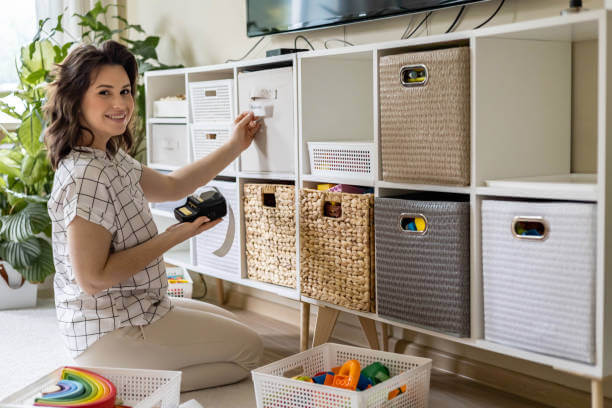
What are the best Bluetooth Label Makers In 2024? Label makers are helpful for something beyond organizing your pantry, and the best Bluetooth label makers feature thermal printing and a wide range of functionality to help you out with a wide range of tasks. Whether you want to make custom stickers for your small business, […]
Top 5 Best Bluetooth Label Makers Of 2024 Read More »


